
This is a huge two-sided map that features the entire lower Deschutes on one side and the John Day River on the other side. Shows private and public lands. When fully opened and laid out on the floor, this map measures 36″ x 44″ – huge with lots of detail. Although this may seem like “old” technology, there are many times out in the Oregon desert when cell phones and other electronic mapping devices have no service. Good to have a map.
Sale!

John Day/Deschutes Map
Original price was: $10.06.$6.85Current price is: $6.85.
Free shipping on orders over $50Related products
-
Sale!
 hot sale
Dynamite baits Peppered Squid wafters Brown | Waveinn
Original price was: $17.92.$12.81Current price is: $12.81. Add to cart -
Sale!
 hot sale
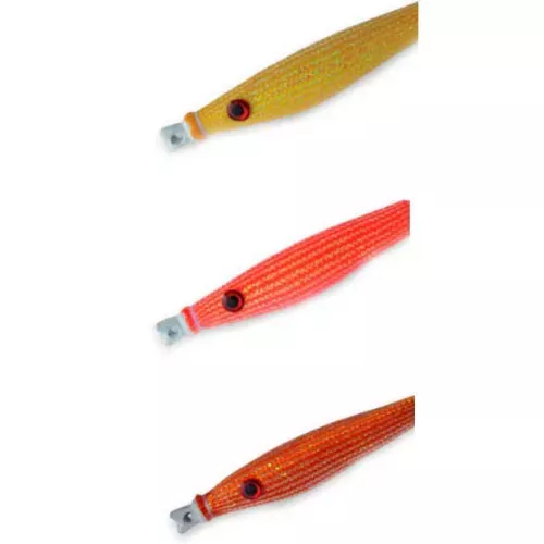
DTD Glavoc squid jig 10g 40 mm Orange | Waveinn
Original price was: $17.50.$13.83Current price is: $13.83. Add to cart -
Sale!
 hot sale
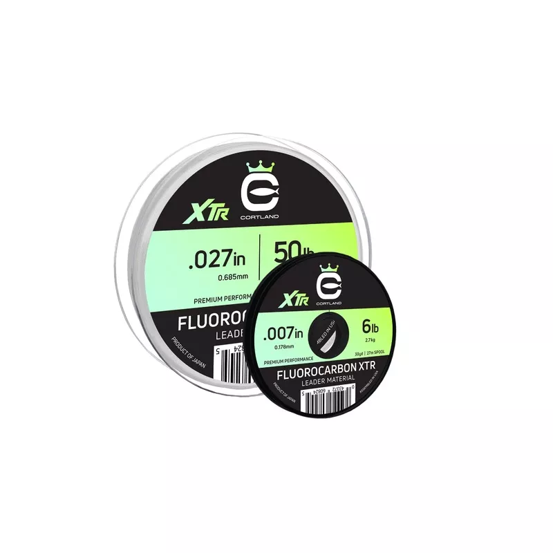
Cortland Fluorocarbon XTR Leader Material CLEAR 90 FT / 30 YD 6 LB JC18144478
Original price was: $6.71.$4.66Current price is: $4.66. Add to cart -
Sale!
 hot sale
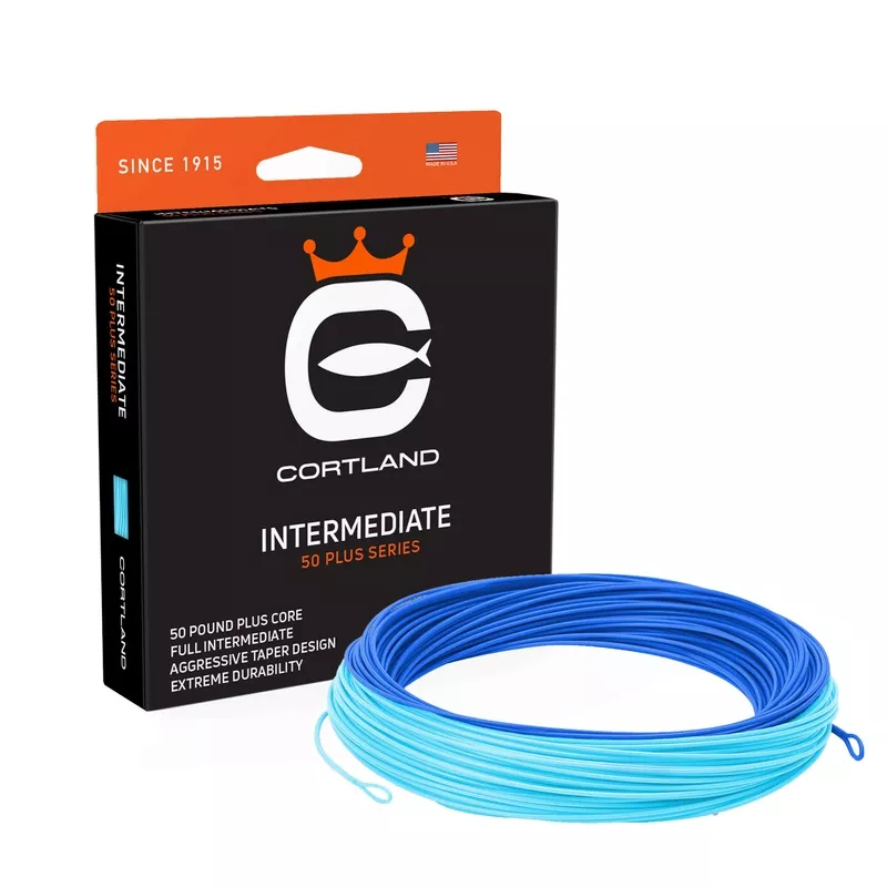
Cortland 50+ Series Intermediate DEEP BLUE / SKY BLUE WF10I – 350 GR JC18144617
Original price was: $35.00.$27.99Current price is: $27.99. Add to cart -
Sale!

-
Sale!
 hot sale
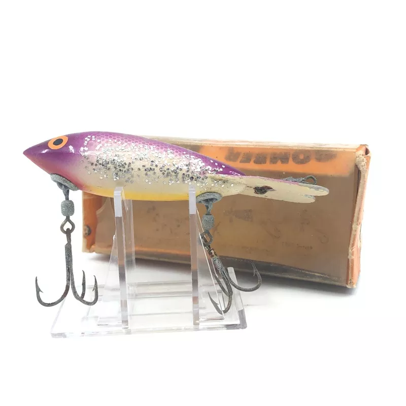
Bomber Deep Runner Purple Back Yellow Belly
Original price was: $9.09.$6.21Current price is: $6.21. Add to cart -
Sale!
 hot sale
Lazy Ike New on Card Yellow Spotted Color Size 3
Original price was: $7.69.$4.07Current price is: $4.07. Add to cart -
Sale!
 hot sale
Nomura Misaki jig 3g 29 mm Multicolor | Waveinn
Original price was: $8.19.$5.34Current price is: $5.34. Add to cart